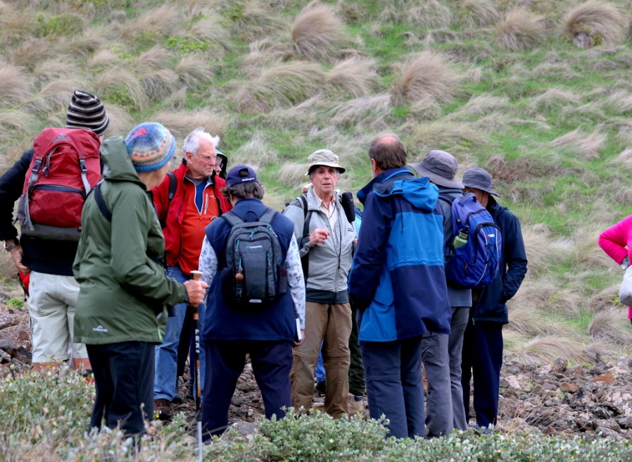
On afternoon of Sunday 21st April excursion leader Ken Griffiths and facilitator Maryse arrived at the muster location at 1.00pm for our 1.15pm muster before driving to the site. The convoy of participants and others we met on site gathered in the Kitty Miller Bay Beach carpark at 1.45pm. There were 17 of us in this group. After a brief roll call, Ken presented an introduction about the walk, then we started our gentle 2 hours return walk along the beach at almost 2.00pm. This walk had to be co-ordinated with the times for high and low tides. We headed to the eastern end of the bay first.
The entire area of Kitty Miller Bay is definitely a biodiversity hotspot for marine, birdlife and coastal vegetation and a hotspot for geomorphology. The beach is made up of a mixture of fine sand, coarser sand, cobbles, tiny pebbles, tiny shells, pieces of shells and dried seaweeds. We observed boulders, cobbles, gravel, scoria, pebbles, very tiny pebbles, a mixture of black and yellow sand and silt. Due to wind and wave patterns, the sand here is different to the sand on the other side of the island. The quartz sand here comes from the granite eroded into fine particles and brought in by the waves along the coast.
At Kitty Miller Bay we can see evidence that most of Phillip Island was formed by a number of active volcanoes. Ken explained how the volcanic flows enabled the beach to form the hour glass shaped bay. Where the sand meets the sea there is a huge long platform of volcanic basalt, which has been eroded by the sea, salt and wind to form numerous rock-pools of various sizes.
We stopped at various points to discuss the geology along the beach and the geology of the area. Looking back inland into the distance, we could just make out the top of an extinct old volcano.

Then we walked back along the beach heading west this time, noting curious marine spongy, jelly-like and worm-like vegetation or creatures. A large area of basalt rock platform and rock-pools abuts the sand but we were not able to walk there due to safety concerns.
At the west side of the bay, a short steep climb up the beachside cliff of exposed Cambrian basement rock led to the top of the cliff for a view of the old ship wreck SS Speke and the beautiful rugged coastline with magnificent views to Pinnacle Rock. A small outcrop of Cambrian greenstone rock can be seen, this is even older than the granite rocks, it is the only place this Cambrian basement rock is exposed on the island. Basalt columns can be seen on the west side.
Coastal fauna and birds included: bees foraging for nectar in the correa alba, new holland honeyeaters, 2 oyster catchers, herons, a brown kangaroo on the hill right near the beach, 3 pacific gulls gorging themselves on what fishermen may have left on the rocks in the morning.
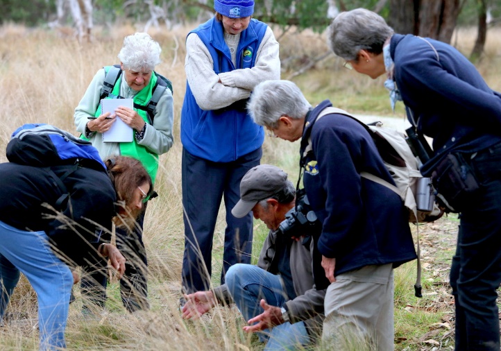
Coastal vegetation included:
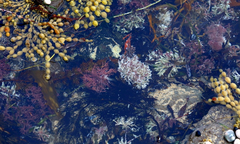
In the water’s edge there were various seaweeds, several colonies of sea creatures, some salps and some that looked like gelatinous drops attached into the sand and others that looked like small light green pillows.
Regular participant counts were performed along the way and we all returned safely to the carpark via the stairs at the centre of the bay, arriving at 4.15pm, I did the final muster roll call count, and concluded the excursion at 4.30pm.
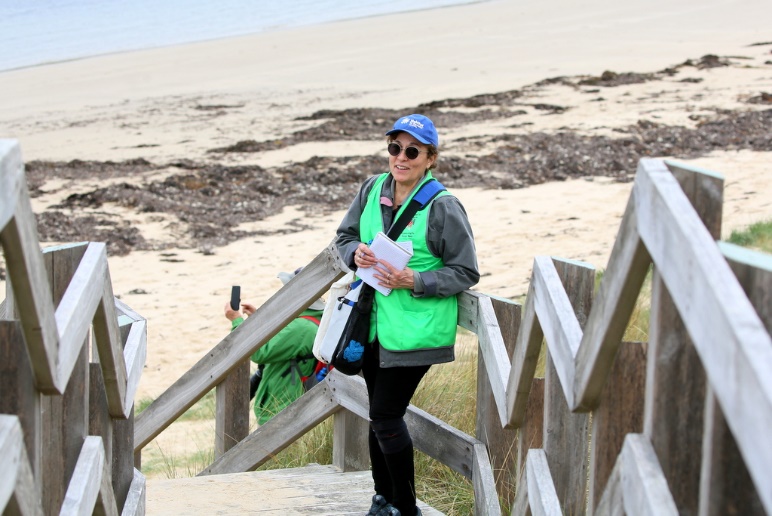
REPORT by Maryse – Facilitator
ABN 23 918 778 150
Incorporation No A0044963D